Landscapes
Details
Scroll Down
Landscape Scans
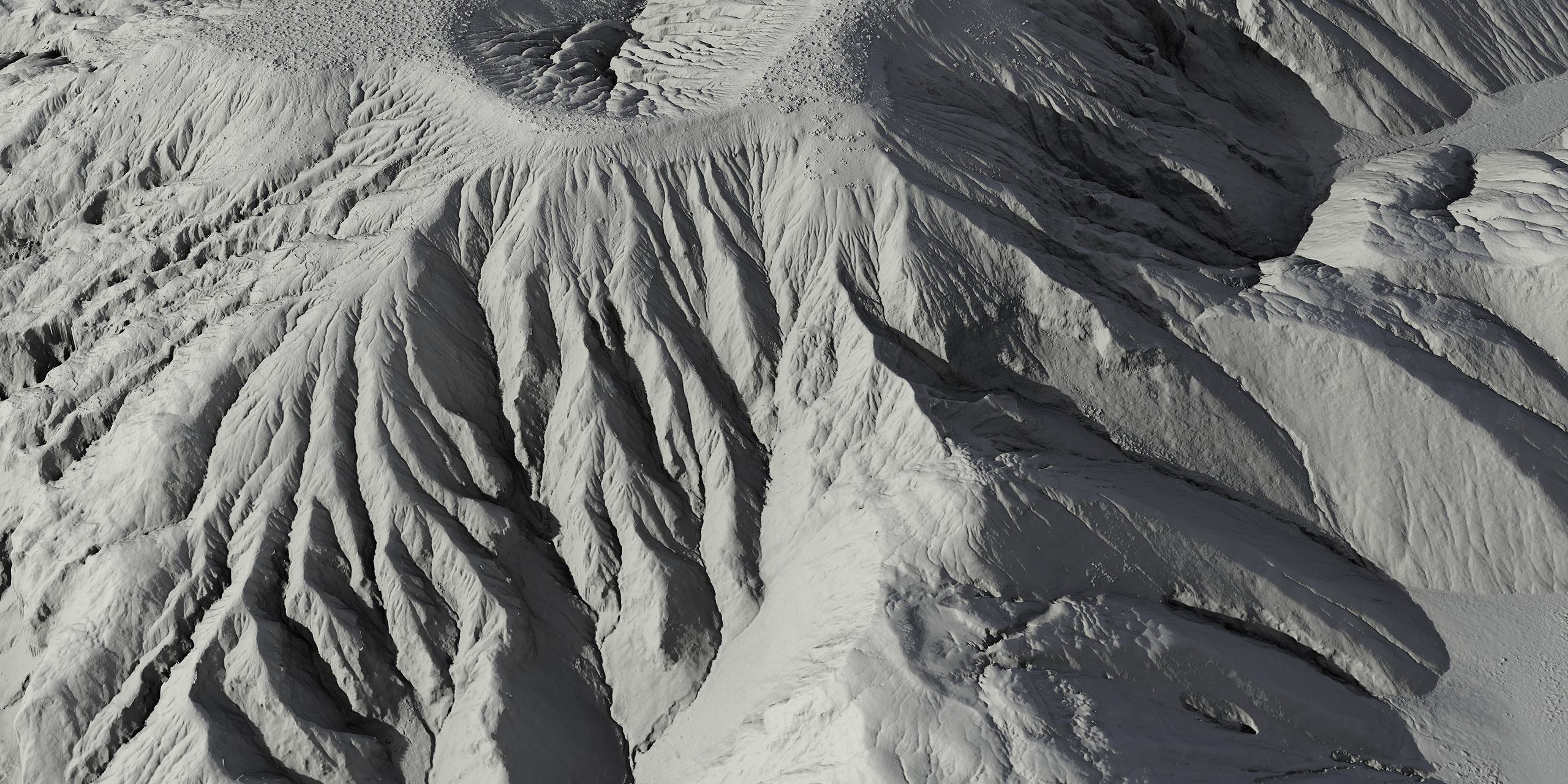
We are scanning highly detailed landscapes with specially designed drone.

Landscape Sizes
The landscapes are scanned with specially designed Drone. Real World resolution of the terrain height maps is 2px = 10cm. Landscapes have a maximum area of 2km x 2km (4km2).

LIDAR Point Cloud
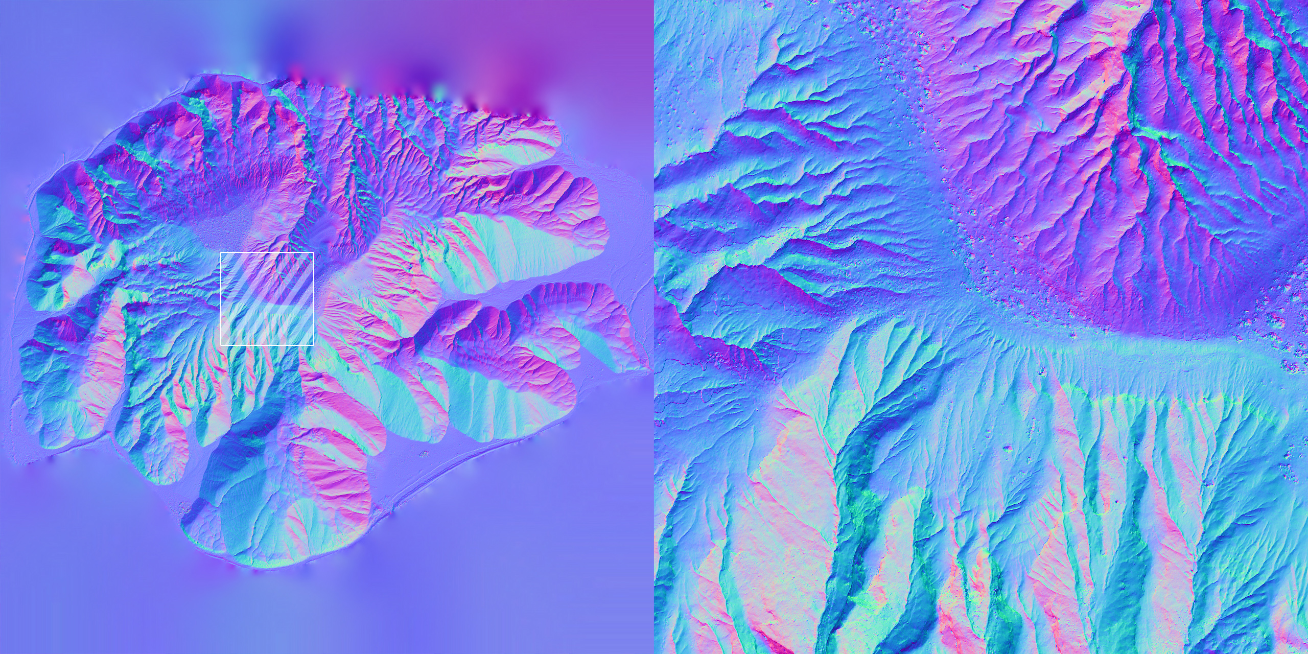
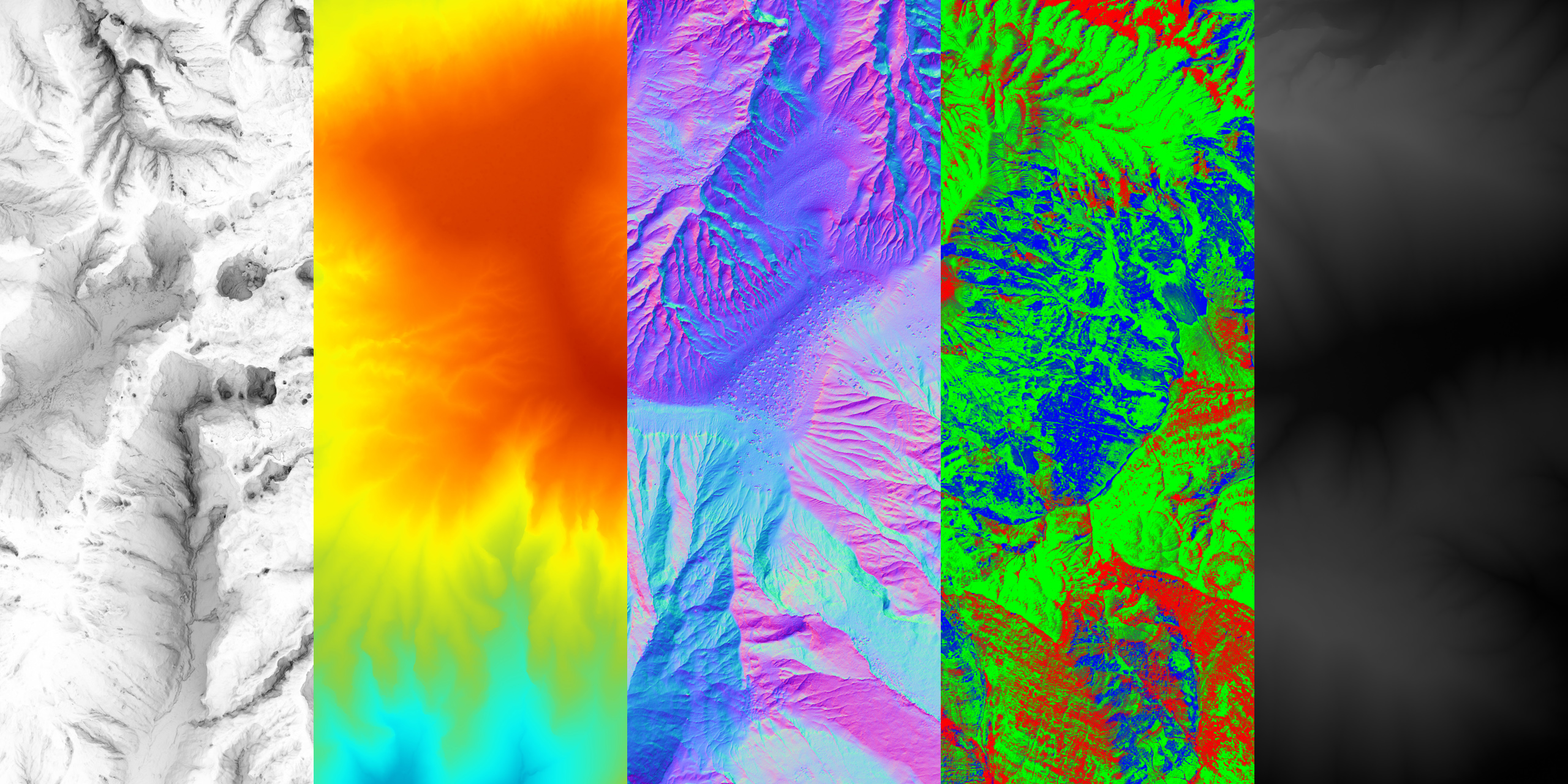
Landscape scans are calculated with more than 1 billion 3D LIDAR Point Clouds. 8K Texture size available depending on license type. All landscape scans contain AO, Elevation Map, Normal, HeightMap(EXR), HeightMap(RAW), Splat Map textures.


